


z les plaines 13-10-20

cb8310
User


Length
5.6 km

Max alt
137 m

Uphill gradient
76 m
Km-Effort
6.6 km

Min alt
70 m

Downhill gradient
74 m
Boucle
Yes
Creation date :
2020-10-13 12:07:24.846
Updated on :
2020-10-14 07:30:11.04
2h24
Difficulty : Very easy

FREE GPS app for hiking
 SityTrail
IGN / Geographical institutes
SityTrail Plus
The world is yours!
About
Trail Walking of 5.6 km to be discovered at Provence-Alpes-Côte d'Azur, Var, Le Muy. This trail is proposed by cb8310.
Description
rando qui nous a permis de découvrir "la source des anguilles" mais contrariée par le propriétaire des vignes ,qui apparemment se serait approprié le chemin qui figure sur la carte ign
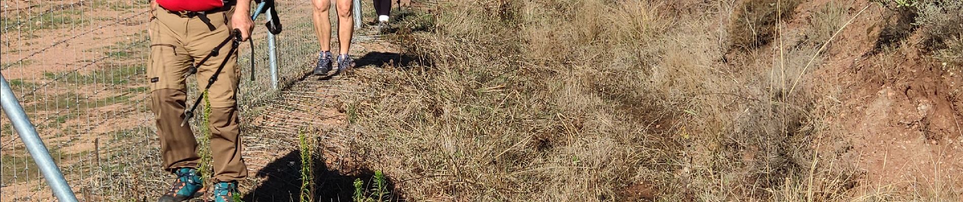
Photos


Positioning
Country:
France
Region :
Provence-Alpes-Côte d'Azur
Department/Province :
Var
Municipality :
Le Muy
Location:
Unknown
Start:(Dec)
Start:(UTM)
308451 ; 4820828 (32T) N.
Comments